
Second Field Season
September 23 - April 24
Summary list of activities
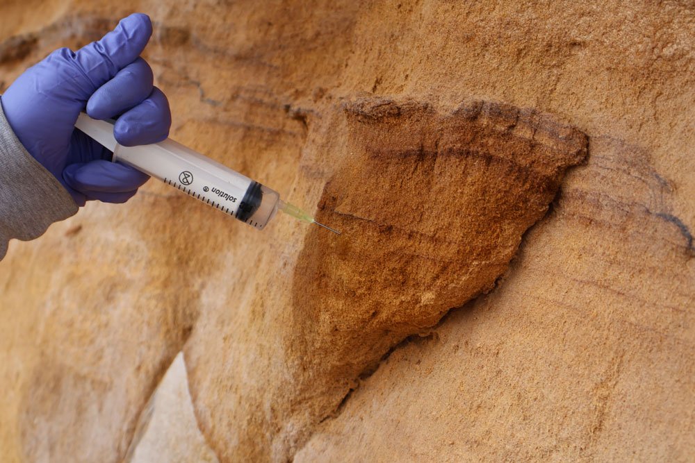
Treatments and cleaning tests of the sample area.
During the second field season, activities focused on launching and refining the pilot interventions required to define the final conservation plan for the tombs of Hegra. Sample areas were selected through targeted inspections and on-site verification, based on preliminary assessments of their conservation conditions and approval by the RCU. In these areas, tests were carried out using different materials and methodologies, including consolidant treatments, mortar applications, and fixing systems for detached scales, with the aim of identifying the most suitable and compatible solutions for the local stone substrate.
Alongside the execution of treatments, pre- and post-intervention measurements were conducted using specialised diagnostic tools such as a sclerometer, colourimeter, thermal camera and portable digital microscope. These assessments enabled the monitoring of soluble salt extraction, the verification of consolidant performance, the evaluation of the newly tested mortars, and the systematic recording of all data within the project’s geodatabase, which was continuously updated and reviewed. Several stone samples were sent to Italy, where scientific partners carried out laboratory analyses on consolidants, local sand granulometry and the design of anchoring pins.
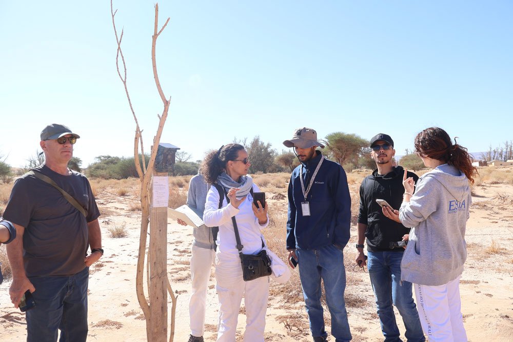
Training activities formed a central component of the season. The RCU taskforce, together with the Rawi and Ranger groups, took part in the second phase of training dedicated to conservation techniques, environmental monitoring and diagnostic survey procedures. Practical workshops were also organised on consolidant treatments, the execution of injections with hydraulic mortars, and the application of new compatible mortars made with natural lime and local aggregates.
The environmental monitoring programme continued with the periodic collection of data from the installed sensors and the analysis of images recorded by the Wild Camera, which proved essential for evaluating humidity levels, rainwater run-off and microclimatic variations. In parallel, the 3D drone survey campaign was completed, supporting the processing of the final models.
These activities were accompanied by an active and continuous communication plan. Through weekly updates on LinkedIn and Instagram, interviews with the RCU and Estia teams, and the preparation of introductory panels for visitors, the progress of the project was promoted and the ongoing investigations shared, contributing to broader awareness and understanding of the conservation work carried out at the site.